GPS Technology Services

Our GPS Technology services bring precision and efficiency to every project. We use cutting-edge surveying and data collection tools to ensure your site is measured accurately and progresses on schedule.

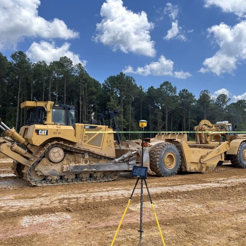
CAT bulldozer and scraper parked with GPS survey equipment on construction site

GPS Technology

WHAT WE DO

We integrate advanced GPS systems into every phase of site development. Our team uses these tools for initial surveys, detailed topographical mapping, and ongoing progress tracking. With precise measurements, we ensure that every inch of your site meets design specifications. This technology helps us quickly adjust to challenges, reducing errors and saving both time and money.lly, we conduct fine grading to ensure a smooth, even surface that’s ready for construction.

GPS Technology

Our Process

Our process leverages state-of-the-art GPS technology for maximum accuracy.

Each step ensures that your project adheres to exact specifications and minimizes costly rework.

STEP ONE

Site Survey & Planning:

  • Conduct an initial survey using advanced GPS devices.
  • Create detailed topographical maps to guide planning.

STEP TWO

Data Collection:

  • Use drones and on-ground GPS sensors to capture precise measurements.
  • Continuously monitor progress during construction for real-time updates.

STEP THREE

Data Analysis & Integration:

  • Process the collected data to verify grades and dimensions.
  • Integrate findings with design plans to ensure accuracy.

STEP FOUR

Ongoing Monitoring:

  • Regularly update project metrics to track progress and performance.
  • Adjust methods as needed to maintain precision throughout the project.

Equipment & Technology

We invest in the latest GPS technology to deliver exceptional accuracy and efficiency:

High-Precision GPS Devices:

Provide exact measurements for detailed site surveys.

Drone Technology:

Capture aerial data and create high-resolution topographical maps quickly.

Advanced Survey Equipment:

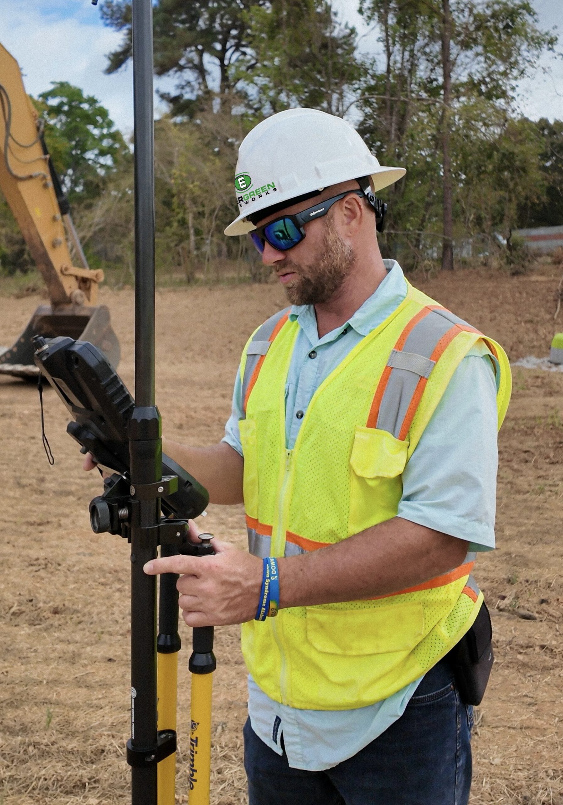
Tools from leading providers like Trimble deliver consistent, reliable data.

Data Analysis Software:

Process and integrate field data to support precise decision-making.

Our technology ensures that every project detail is captured and addressed, boosting overall project quality.

Drone flying high above tall forest trees under clear sky
GPS Pic Replacement

GPS Technology

Sub-Services

Our comprehensive GPS Technology services include a range of specialized sub-services:

These sub-services work together to ensure that every aspect of your site is precisely measured and managed.

Benefits for your Project

Using our GPS Technology services offers key advantages:

Increased Accuracy:

Precise measurements minimize errors and reduce rework.

Cost Efficiency:

Streamlined processes and accurate data help save time and money.

Real-Time Insights:

Ongoing monitoring provides immediate feedback for quick adjustments.

Enhanced Project Management:

Detailed data integration supports better decision-making and efficient workflow.

Our commitment to precision ensures that your project meets the highest standards while staying on schedule and within budget.
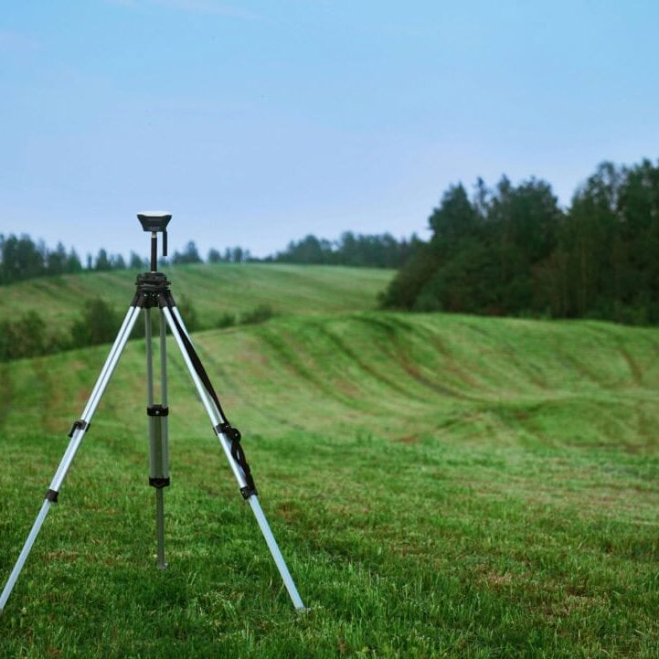
Survey tripod standing in green open field ready for land surveying measurements

Why Choose Us?

We combine expert knowledge with advanced technology to deliver outstanding results. Our experienced team is dedicated to leveraging cutting-edge GPS solutions for every project. We offer personalized service, clear communication, and consistent quality. Choosing our GPS Technology services means partnering with a team that values accuracy, efficiency, and innovation.

FAQs